Weather Update: La Niña Event Could Lead to a Wetter Winter
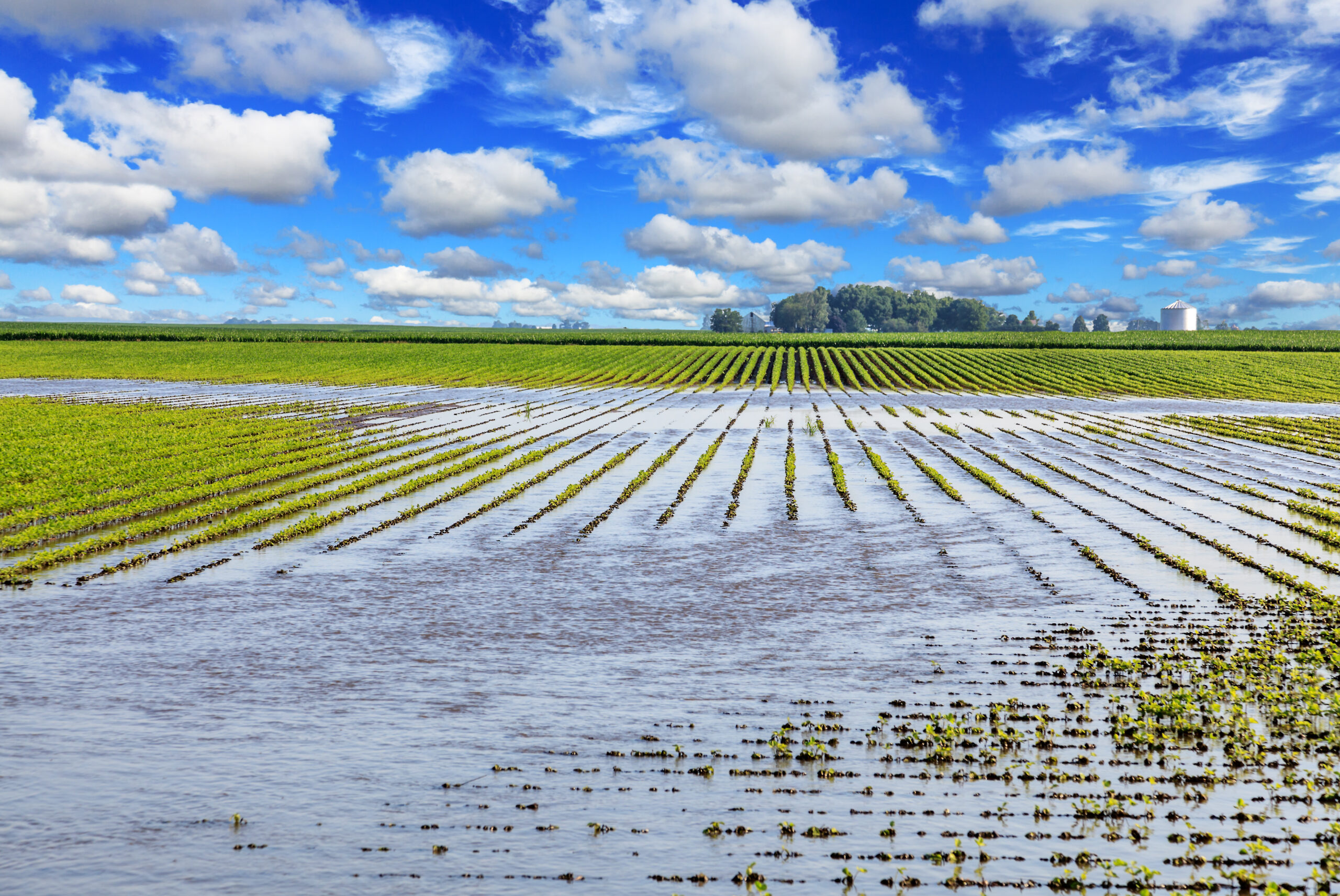
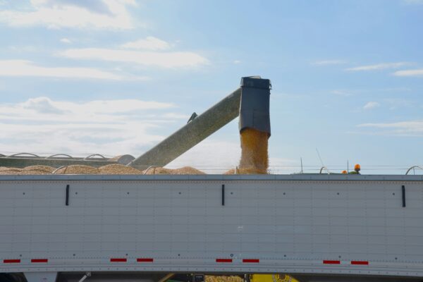
With the 2020/21 crop successfully harvested and winter wheat fully emerged, crop producers are already thinking about next year’s weather. The biggest story in weather remains the severe drought that plagues producers across much of the West Coast and northern Plains. While there were other severe impacts this year, such as from Hurricane Ida, no other single event had such a dramatic impact on production. Though early winter there has been little drought relief as the more northern jet stream track influenced by the La Niña conditions has resulted in much below normal rain and snow throughout the Southwest. Throughout the Southwest and Intermountain West, snowpack is at extremely low levels, and unfortunately, this trend is generally expected to continue over the remainder of the winter. The lack of snowfall will have significant ramifications for reservoirs and other sources of water in 2022 as it is coming on the heels of a dry year with alarmingly low reservoir levels throughout the region.
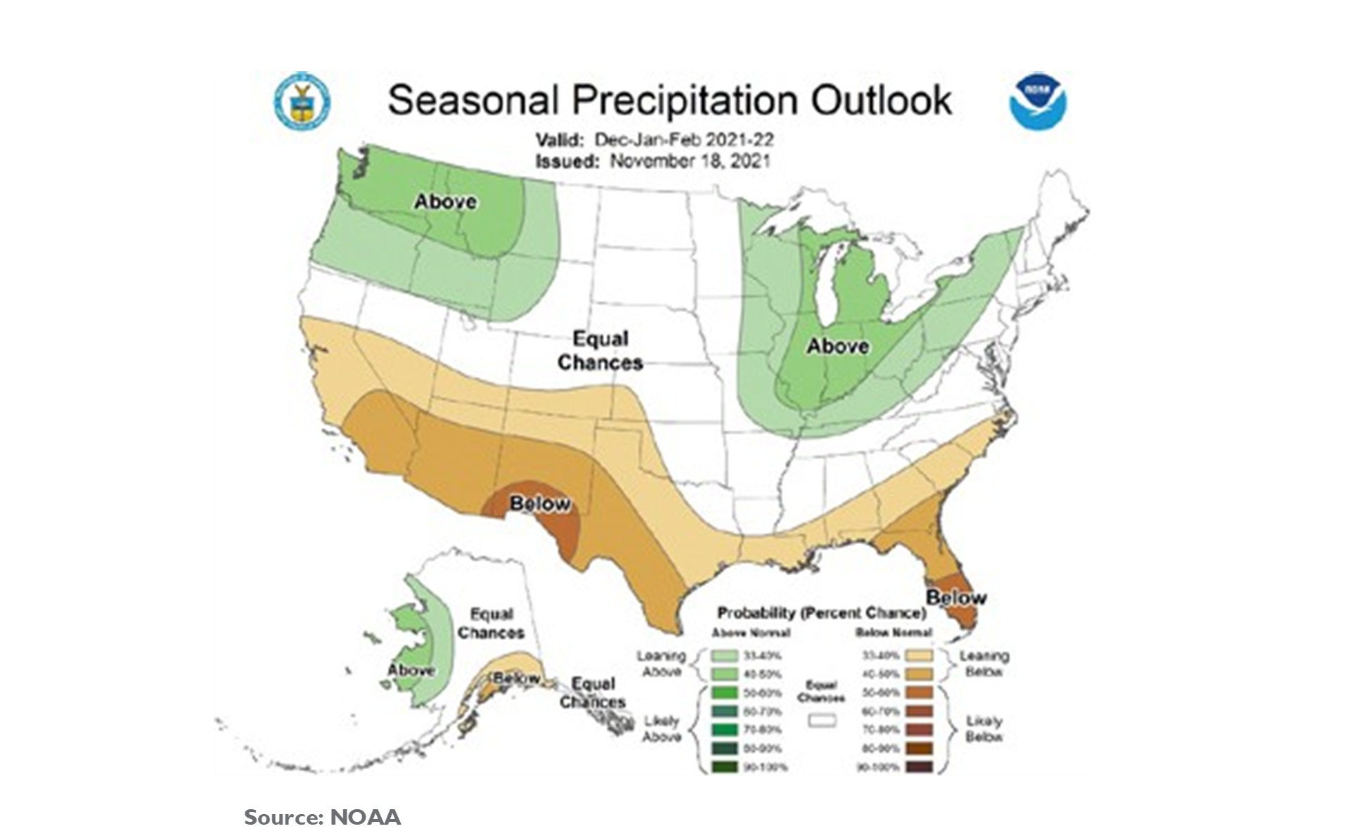
The more northern orientation of the jet stream will be beneficial in both the Pacific Northwest and Great Lakes states, as higher than normal precipitation is likely in these regions through the first part of 2022. These regions are also the most likely to see colder than normal conditions this winter, particularly in January and early February.
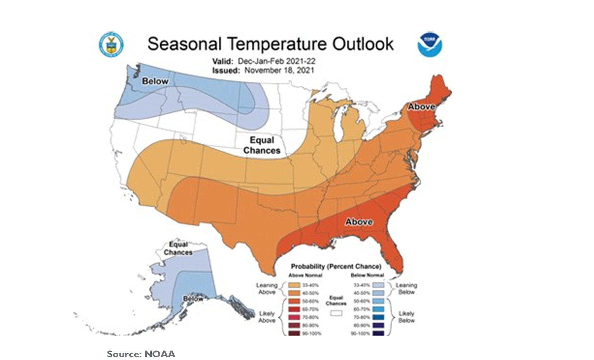
Long term projections for temperature indicate some potential upside for producers over the near term. The winter seasonal forecast indicates slightly warmer than normal temperatures in critical dairy regions like the western Great Lakes region and California. For the heartland, NOAA’s long-term projections indicate that growing conditions in the Midwest are most likely to either be within normal ranges or potentially slightly warmer. However, there is a high probability of above average temperatures across the West and Southeast, which could exacerbate recent challenges that those regions have had in the forms of drought or hurricanes.
Of course, projections this far in advance are subject to change as we move through 2022. Perhaps the most important lesson of the last three years of extreme weather for farmers across the country is that past is not prologue. The number of severe weather events has been increasing over the past two decades, but greater probability does not convey certainty. The current long- term forecasts suggest that severe drought in the west or hurricanes in the southeast might be more likely in 2022, but only time will tell.