Weather Update – A Mixed Bag
Return of El Niño
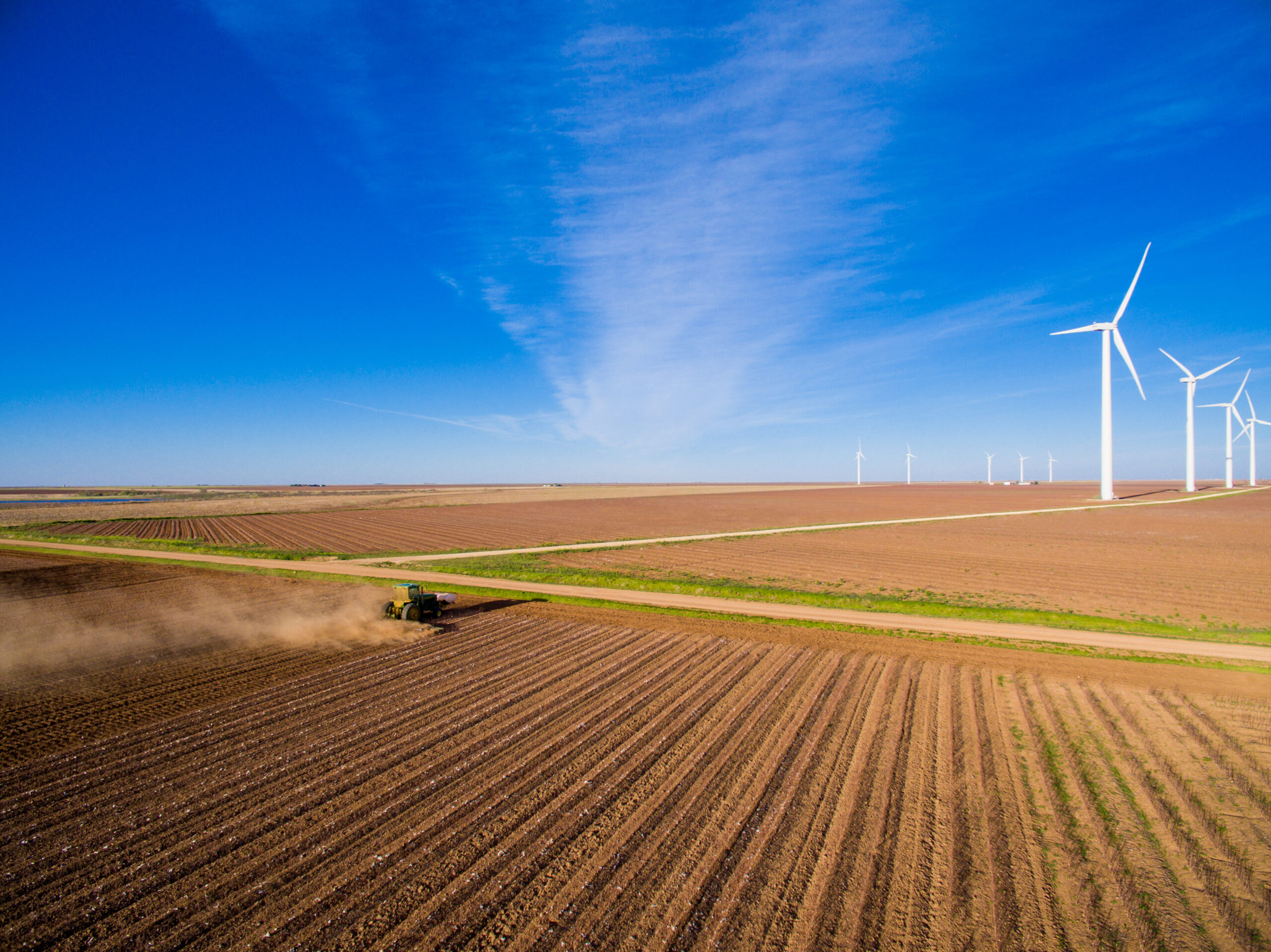
El Niño conditions developed in FebruaryMarch 2023 as water temperatures in the equatorial Pacific began to warm and reverse a multi-year La Niña event. The shift was accompanied by a much-needed spike in precipitation for the U.S. Southwest. Over the summer, sea surface temperature warming continued across the Pacific, further strengthening El Niño conditions. Projections show that the current El Niño will reach a moderate to strong magnitude by winter. Previous El Niño conditions have led to above-average precipitation for many Southwest states. Additional rainfall would undoubtedly be welcome in states such as Arizona, which continues to face cutbacks to water allocations from the Colorado River.
Typically, weather conditions are relatively quiet along the West Coast from summer through early fall. This year proved to be the one in one hundred exception. In August, Hurricane Hillary approached and eventually made landfall in Southern California as a tropical storm. This marked the first tropical storm to hit Southern California since 1939 and many parts of the state received record rainfall in a matter of days. What would have been welcomed by farmers at other points during the year, the rainfall in August actually disrupted both planting and harvesting of several different crops. The damage is still being assessed but the focus is already on future storms to come. An enhanced southern storm track derived from El Niño could begin to develop later this fall and spread precipitation into California. If the magnitude of this El Niño increases significantly, it will likely be a major factor in weather across the United States from mid-fall into the winter.
Hot Midwest
Across the Midwest, a dip in the jet stream is anticipated to persist into the fall. This dip, or “trough,” was largely responsible for a mild summer generally devoid of extended heat waves in this region. Still, even without heatwaves, a lack of consistent rainfall across the Midwest has led to questions about what crop yields will be realized come harvest. If this trough is maintained in the fall, the result would likely be cooler than normal temperatures and drier than normal precipitation amounts. This trend toward drier-than-normal conditions would likely amplify drought conditions that already exist in the region.
Southern Heat Dome
The summer of 2023 was brutally hot in the desert Southwest and southern Plains states. Over the course of the fall, the El Niño should gradually enhance a southern storm track which will weaken the “heat dome” jet stream ridge and eventually support cooling and wetter weather. This more active southern storm track is also likely to spread an area of greater than normal precipitation across the Southeast.
Hurricane Watch
As California recently found out, hurricanes and other tropical weather systems provide a significant wild card in terms of the precipitation outlook. Still, hurricanes are generally associated with Southeastern states, which is where Hurricane Idalia was initially projected to make landfall. Water temperatures in the Gulf of Mexico and the southern Atlantic Ocean are significantly warmer than normal this year, which could provide energy to intensify tropical systems. Through mid-July, the daily seawater temperature at several coastal tide stations reached their highest recorded levels, dating back to the 1990s. There is no guarantee that warm Gulf of Mexico waters will result in an active hurricane season, though the budding El Niño and other aspects of the jet stream pattern could provide a bit of a damper to the amount of tropical weather activity that would otherwise be expected given the sea surface temperatures.